
Extension Activity 1:
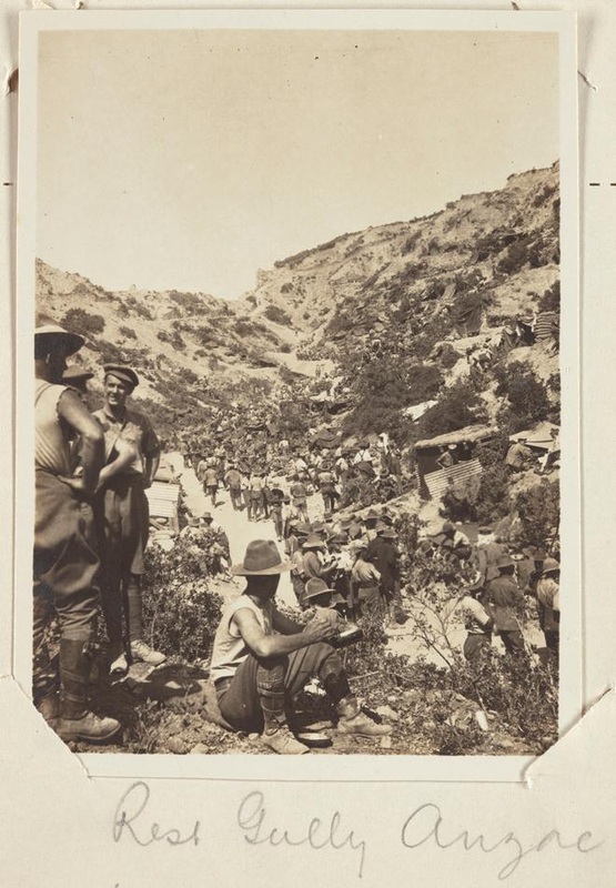
The Google Earth tool allows you to visually explore the geographical terrain of Gallipoli so that you can develop an understanding of what the Australian troops faced. Continue to navigate through the Anzac Landing in 3D and use the Google Earth tool to compare the terrain in daylight and in darkness. You will be able to see the view the Australian troops had from the water once they landed, as well as the view of the Turkish soldiers.
The Google Earth tool allows you to visually explore the geographical terrain of Gallipoli so that you can develop an understanding of what the Australian troops faced. Continue to navigate through the Anzac Landing in 3D and use the Google Earth tool to compare the terrain in daylight and in darkness. You will be able to see the view the Australian troops had from the water once they landed, as well as the view of the Turkish soldiers.
|
The following questions need to be answered:
1. What were some of the difficulties and advantages of the terrain for the Australian soldiers (consider living conditions and the nature of fighting). 2. Would you have chosen to land during the day or night? Why? 3. How did the terrain impact on the landing at Gallipoli? 4. Would the Gallipoli Campaign have been considered a success of failure for the Turkish troops? Discuss with a partner (You may like to watch some War Veteran interviews with Turkish soldiers). |
|
Extension Activity 2:
Compile a list of questions you would ask a War Veteran in an interview based on their experiences at Gallipoli.
